
Fichier:Malacca location map.svg

Taille de cet aperçu PNG pour ce fichier SVG : 800 × 506 pixels. Autres résolutions : 320 × 202 pixels | 640 × 405 pixels | 1 024 × 648 pixels | 1 280 × 810 pixels | 2 560 × 1 620 pixels | 980 × 620 pixels.
Fichier d’origine (Fichier SVG, nominalement de 980 × 620 pixels, taille : 596 kio)
Description
| Description |
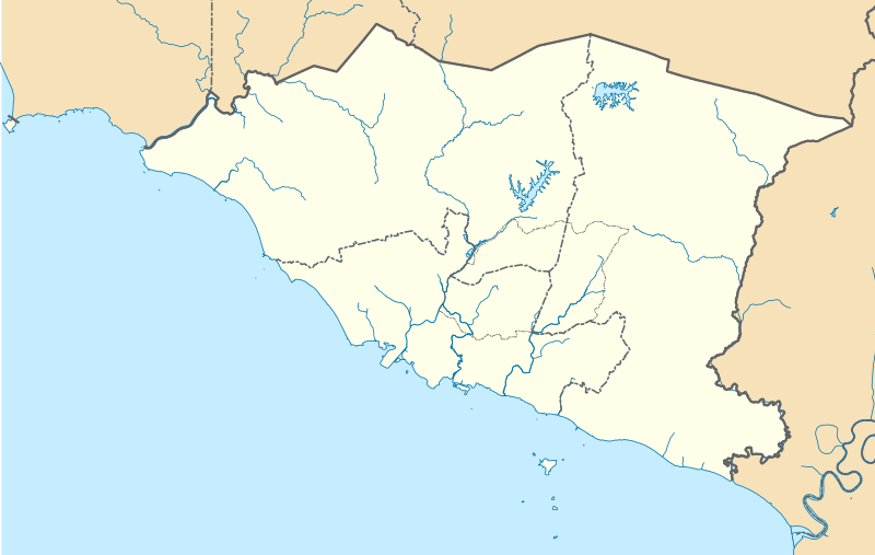
English: A map showing districts of Melaka (blank version) |
| Date | |
| Source | Travail personnel |
| Auteur | Zh9567 |
Conditions d’utilisation
Moi, en tant que détenteur des droits d’auteur sur cette œuvre, je la publie sous la licence suivante :
Ce fichier est sous la licence Creative Commons Attribution – Partage dans les Mêmes Conditions 4.0 International.
- Vous êtes libre :
- de partager – de copier, distribuer et transmettre cette œuvre
- d’adapter – de modifier cette œuvre
- Sous les conditions suivantes :
- paternité – Vous devez donner les informations appropriées concernant l'auteur, fournir un lien vers la licence et indiquer si des modifications ont été faites. Vous pouvez faire cela par tout moyen raisonnable, mais en aucune façon suggérant que l’auteur vous soutient ou approuve l’utilisation que vous en faites.
- partage à l’identique – Si vous modifiez, transformez, ou vous basez sur cette œuvre, vous devez distribuer votre contribution sous la même licence ou une licence compatible avec celle de l’original.
Historique du fichier
Cliquer sur une date et heure pour voir le fichier tel qu'il était à ce moment-là.
| Date et heure | Vignette | Dimensions | Utilisateur | Commentaire | |
|---|---|---|---|---|---|
| actuel | 13 avril 2021 à 08:42 | | 980 × 620 (596 kio) | Zh9567 | minor |
| 12 avril 2021 à 06:59 |  | 980 × 620 (597 kio) | Zh9567 | Uploaded own work with UploadWizard |
Utilisation du fichier
Aucune page n’utilise ce fichier.
Usage global du fichier
Les autres wikis suivants utilisent ce fichier :
- Utilisation sur en.wikipedia.org
- Malacca City
- Masjid Tanah
- Tanjung Tuan
- Ayer Keroh
- Merlimau
- Besar Island, Malacca
- Melaka Island
- Durian Tunggal
- Batu Berendam
- Tanjung Kling
- Bukit Katil
- Sungai Rambai
- Tanjung Bidara
- Wikipedia:WikiProject Malaysia/Cartography
- Portuguese Settlement, Malacca
- Simpang Ampat (Malacca)
- Hang Tuah Jaya
- Jasin (town)
- Linggi River
- Malacca
- Pengkalan Balak Beach
- Durian Tunggal Reservoir
- Sungai Udang Recreational Forest
- Alor Gajah Square
- Jus Reservoir
- Ayer Keroh Lake
- Ayer Keroh Square
- 1Malaysia Square
- Jasin Square
- Puteri Beach
- Bukit Batu Lebah Recreational Forest
- Klebang Beach
- Kuala Linggi Mangrove Recreational Forest
- Alor Gajah
- Konet Island
- Module:Location map/data/Malaysia Malacca
- Module:Location map/data/Malaysia Malacca/doc
- Undan Island
- Bukit Baru
- Upeh Island
- Utilisation sur fa.wikipedia.org
- Utilisation sur fr.wikipedia.org
- Utilisation sur id.wikipedia.org
- Utilisation sur ms.wikipedia.org
Voir davantage sur l’utilisation globale de ce fichier.